Tuesday, September 22, 2020

Week 5: SAR simulation at PWA

Field Report

Week 5: 9/22/2020

Martell Forest mission status: 

This week and next, flight groups will be working to get cleared to fly the M600. The leaves are expected to start changing next week and it is essential to start collecting data beginning this week. Next week we should be cleared to fly. Cole is not in attendance today due to potential exposure to covid. All notes and this report was shared with him.

PWA Search and Rescue Simulation:

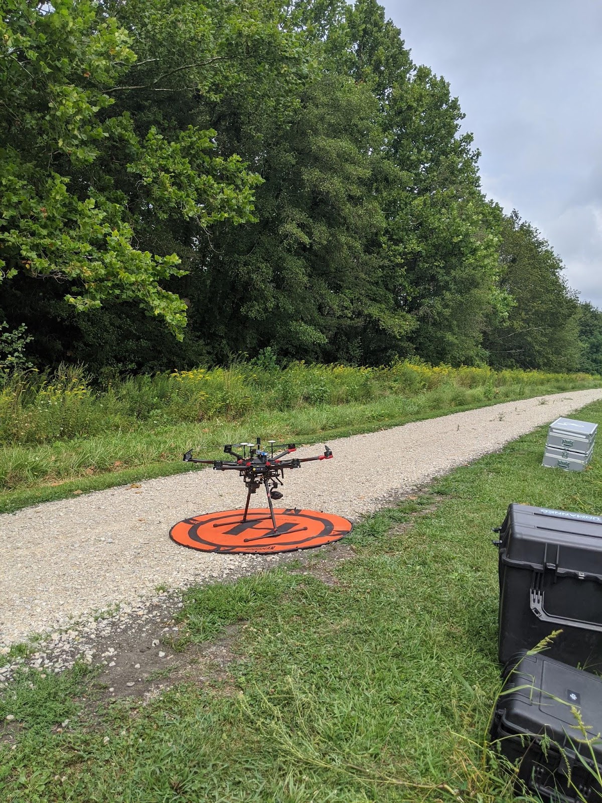
In an effort to get more mock search and rescue missions logged, William Weldon supervised two groups (myself included) through a number of iterations today. William hid the “body” which consisted of a red shirt and jeans. One group conducted the flight while the other analyzed the images. After the UAV was grounded, the flight crew packed it up and then became the ground search crew. The image analysis group consisted of one person manually combing through the images and another using the Loc8 software. With the Mavic 2 Pro (Figure 1) we can collect a live stream of images to be directly analyzed in Loc8. The quality, however, was lower than that on the SD card, and we were unable to identify anything from this method through all iterations of the simulation. We were able to conduct a total of three simulations.

Figure 5.1: DJI Mavic Pro 2 in case.

 Platform:

DJI Mavic 2 Pro

Sensor: 

                Hasselblad L1D-20c Camera

20 MP

f/2.8-f/11 range

Search 1:

Roles:

                Jesse: Loc8 image analyst

                Nick: Manual image analyst

Takeoff: 0950

Landing: 1004

Body found: 1017

Search 2:

Roles:

                Jesse: Loc8 image analyst

                Nick: Manual image analyst

Takeoff: 1043

Landing: 1054

Body found: 1126

Search 3:

Roles:

                Jesse: PIC, ground search team

                Nick: Flight engineer/VO, ground search team

Takeoff: 1144

Landing: 1155

Body found: 1236

One issue we were having with the second and third flight were the images coming out dark. The first flight was flown on manual settings (ISO 100, F/2.8, Shutter 3200) and these images came out fine. The flight was conducted early and the sun was low on the horizon. The images from the second flight were taken with the same settings, but all of the images were underexposed. We attempted to fly the last mission with shutter priority at 1600, but the outcome was still underexposed imagery. This made it more difficult for Loc8 to process the images and for the analysts to provide precise locations of potential hits. You can see for these two flights that it took us significantly longer to find the body. Next week we plan to send the Mavic up for some test shots before collecting more underexposed images. 

Monday, September 21, 2020

Week 4: Martell Forest first group mission

Field Report

Week 4: 9/15/2020

Martell Forest mission: 

The flights today were once again completed over Martell Forest. I was PIC for the first flight of the day and this was my group’s first chance to conduct a full mission with the M600. We used the PPK as opposed to the GCPs used last week. These work with Continuously Operating Reference Stations (CORS) to provide more accurate GPS data than the GCPs could provide. These stations are owned and operated by the National Oceanic and Atmospheric Administration (NOAA) and are available for free public use making this technology extremely helpful for the type of data collection we are conducting.

The cloud coverage today was partly cloudy and the sun was to the east, low on the horizon. Noting the location of the sun can be very helpful when going back and looking at the data to better understand and even estimate glare and shadows. 

UAV setup:

System: DJI Matrice 600

Sensors: Zenmuse XT2 (RGB & thermal)

   Sony α6000

Infinity focus

Aperture: F3.5

Shutter: 1/4000

 Flight Data:

Flight 1

Altitude: 500 ft 

Setup: 25 min

Takeoff: 1008

Landing: 1028

Duration: 20 min

Teardown: 15 min

Flight 2

Altitude: 500 ft

Setup: 17 min

                Takeoff: 1109

Landing: 1130

Duration: 21 min

Teardown: 14 min

During our flight, I observed two types of errors displayed on Measure, both of which were fairly common and not overly concerning. The first was “SD Card Busy”. This occurs when the SD card on the XT2 data is taking a long time to write to the SD card. It will delay the next photo taken by the XT2 but has no effect on the Sony α6000 which operates independently. In fact, the α6000 operates almost entirely independent of the M600, it has its own system controlling it and the status cannot be monitored from the ground, so everything from Measure is about the XT2. The second error we encountered displayed as “Aircraft tilting”. I noticed this only happened when the M600 was turning to complete another pass. I believe this error was thrown out of an abundance of caution on Measure’s end. Since the M600 does not natively operate with Measure, I can only assume that Measure is unaware that this type of maneuver is normal.

When flying the Sony α6000 there is no easy way to determine if the photos will come out over or under exposed. The camera is always on shutter priority and we have found that 1/3200 or 1/4000 works best the majority of the time but there is no good method for verifying this at the current moment. My proposal is to send a DJI Mavic up prior to the M600 to check the conditions from the sky. The Mavics are natively set to shutter priority and can be controlled from the ground. This way we could sample photos at different shutter speeds to help determine what the α6000 should be set to. Even though they are different cameras, it wudl at least give us an idea of the conditions and over time we would have a good idea how the two cameras compare.

Thursday, September 10, 2020

Week 3: GCP at Martell Forest

 Field Report

Week 3: 9/7/2020

Martell Forest mission brief:

I met Aish, a PhD student in forestry here at Purdue, at Martell Forest today. Her research is related to the missions we will start flying later this month to hopefully achieve species and genotype level identification with UAS collected data. 

The mission today will involve flying the DJI Matrice 600 at different altitudes and seeing how this may affect the quality of the data collected. Ten AeroPoint GCPs will be used to help with the accuracy of the data. The mission area consists of 10-12 year old precision planted red oak trees which have been professionally maintained (Figure 3.1).

Figure 3.1: The mission area - precision planted and regularly maintained red oak plot


Placing the AeroPoint GCPs:

The Propeller Aero AeroPoint GCPs (ground control points) add a level of GPS accuracy to the data that would otherwise be unattainable from the UAS alone. These consist of foam target-like squares that contain the GCP chip embedded in their core. The idea is to lay these down strategically through the area flown such that once the data is retrieved these points can be identified and linked with the data collected. To set these up, one simply has to lay them down in areas of the mission that are visible from the sky and away from obstructions that could redirect GPS signals. Once the mission is complete, the AeroPoints must be retrieved in reverse order in which they were laid down. For this reason, I sketched out a map of our target area for reference (Figure 1). As seen in the sketch, we made sure to space the GPS evenly throughout the mission area. AeroPoint 10 was placed under some light coverage to test the limits of the technology. The effectiveness of this AeroPoint will have to be determined at a later time.

Figure 3.2: Rough sketch of mission area for GCP location reference.


 DJI Matrice 600 flight:

As a class, we were able to do 3 flights today. Initially we had planned for each flight crew (4 total) to do a flight including everything from setup to teardown but we quickly realized this schedule would not be able to accommodate all groups flying within the given time frame. Thus, my group did not end up flying today but we will be first to fly next week. The flights we were able to record were flown at 500ft, 400ft and then 300ft. The M600 setup consisted of: 

System: DJI Matrice 600

Sensors: Zenmuse XT2 (RGB & thermal)

   Sony α6000

Infinity focus

Aperture: F3.5

Shutter: 3200


Flight info:

Flight 1

Altitude: 500 ft

                Takeoff: 1116

Landing: 1123

Duration: 7 min

Flight 2

Altitude: 400 ft

                Takeoff: 1208

Landing: 1216

Duration: 8 min

Flight 3

Altitude: 300 ft

                Takeoff: 1237

Landing: 1247

Duration: 10 min


Figure 3.3: The M600 in action

Week 2: Martell Forest & Mock SAR

Field Report

Week 2: 9/10/2020

Martell Forest mission brief:

The foliage this year is expected to begin changing in late September. When the time comes, we will organize 3x per week flights. The data will be used for genus and species level identification within Martel Forest.

Mock search and rescue mission:

This week we participated in a mock search and rescue mission organized by William Weldon. A pair of pants was hidden in a field to simulate that of a missing person. While this task was ongoing, the flight crew prepared the Bramor for a flight over the area.

Flight info

System: C-Astral Bramor

Camera: Sony α6000

Shutter speed: 1600

Aperture: 4.5F

ISO: 100

Altitude: 500 ft

Launch: 1103

Land: 1149

Duration: 46 minutes (approx)

My role was intelligence lead and I was tasked with managing people combing through images manually and with Loc8 image scanning software. In theory, I would have communicated their findings with the recovery lead who then would have dispatched recovery teams to search for the missing person. However, we ran into issues transferring the data from the memory card off the Bramor to the intelligence team. The data transfer was so slow that we ran out of time before we could get the data on all of the computers. We ended up having to wrap up operations by 1300. We may use this data set in the future.


Figure 2.1: Bramor getting assembled 

 DJI Matrice 600 flight:

While I was working with William to upload the search and rescue data on the intelligence teams computers, another flight crew prepped and launched the DJI Matrice 600. The purpose of this flight is for a Martell Forest mapping project. The goal is to map the entire Martell Forest and present this to the Purdue Forestry department for their own use. I did not collect as many details for this flight because I was working with William while the flight team prepared. I will gather more details on this system in the coming weeks. 

Flight info

System: DJI Matrice 600

Sensor: Zenmuse XT2 (RGB & thermal)

Launch: 1215

Land: 1237

Duration: 22 minutes (approx)

 Figure 2.1: DJI M600 ready for launch