Field Report
Week 2: 9/10/2020
Martell Forest mission brief:
The foliage this year is expected to begin changing in late September. When the time comes, we will organize 3x per week flights. The data will be used for genus and species level identification within Martel Forest.
Mock search and rescue mission:
This week we participated in a mock search and rescue mission organized by William Weldon. A pair of pants was hidden in a field to simulate that of a missing person. While this task was ongoing, the flight crew prepared the Bramor for a flight over the area.
Flight info
System: C-Astral Bramor
Camera: Sony α6000
Shutter speed: 1600
Aperture: 4.5F
ISO: 100
Altitude: 500 ft
Launch: 1103
Land: 1149
Duration: 46 minutes (approx)
My role was intelligence lead and I was tasked with managing people combing through images manually and with Loc8 image scanning software. In theory, I would have communicated their findings with the recovery lead who then would have dispatched recovery teams to search for the missing person. However, we ran into issues transferring the data from the memory card off the Bramor to the intelligence team. The data transfer was so slow that we ran out of time before we could get the data on all of the computers. We ended up having to wrap up operations by 1300. We may use this data set in the future.

Figure 2.1: Bramor getting assembled
DJI Matrice 600 flight:
While I was working with William to upload the search and rescue data on the intelligence teams computers, another flight crew prepped and launched the DJI Matrice 600. The purpose of this flight is for a Martell Forest mapping project. The goal is to map the entire Martell Forest and present this to the Purdue Forestry department for their own use. I did not collect as many details for this flight because I was working with William while the flight team prepared. I will gather more details on this system in the coming weeks.
Flight info
System: DJI Matrice 600
Sensor: Zenmuse XT2 (RGB & thermal)
Launch: 1215
Land: 1237
Duration: 22 minutes (approx)
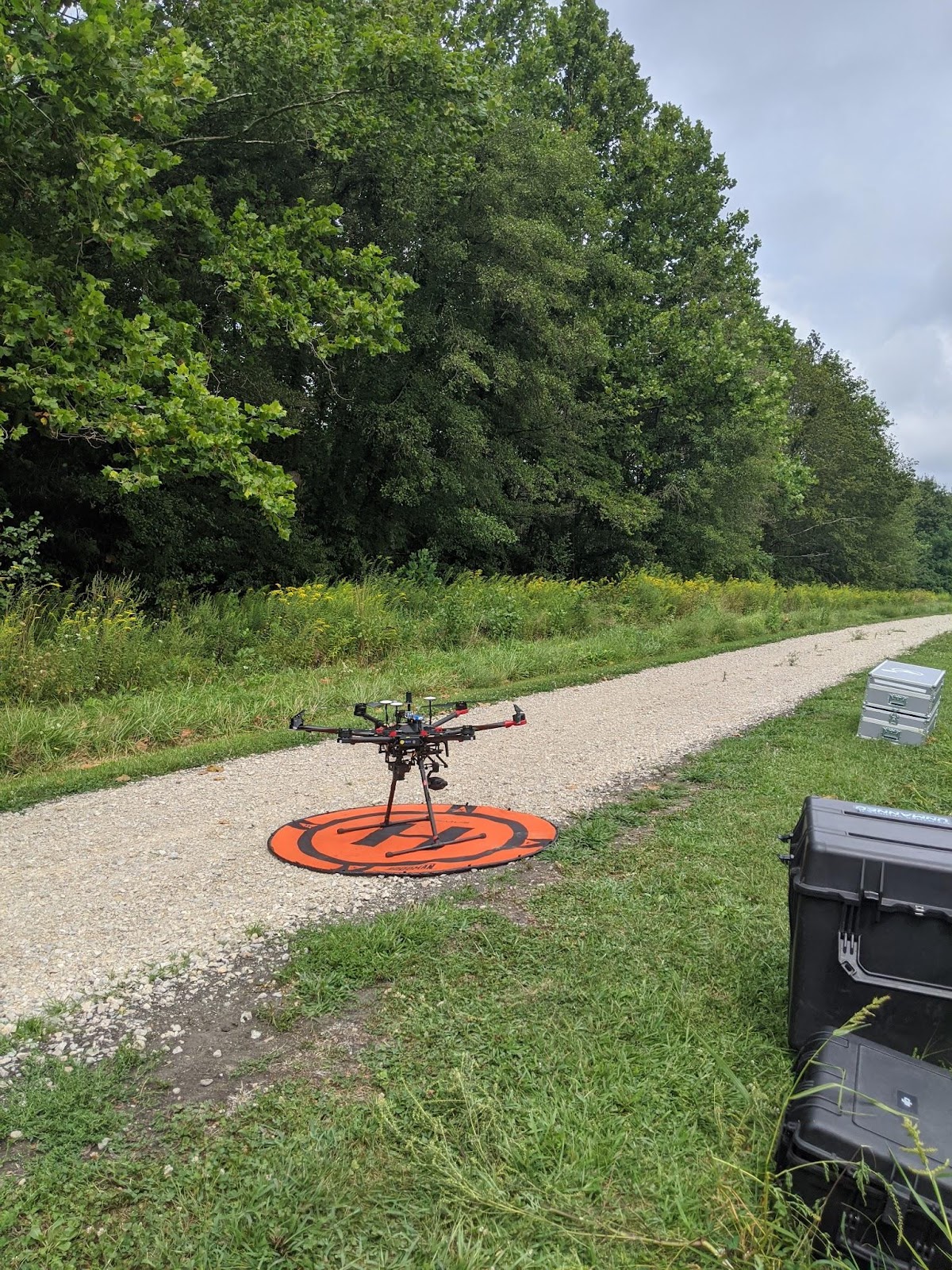
Figure 2.1: DJI M600 ready for launch
No comments:
Post a Comment